Map of Ireland
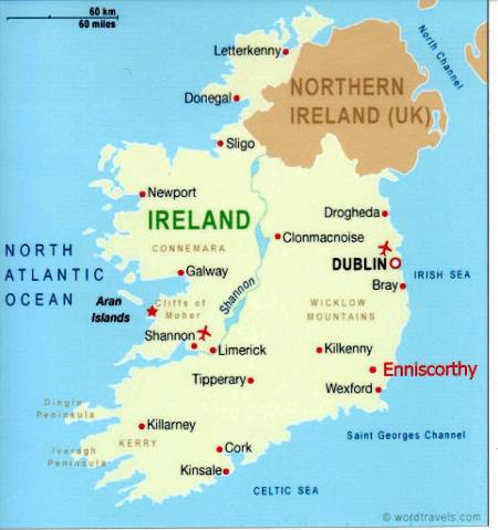
Enniscorthy, from Old Irish "Inis Corthaidh" meaning "Island of the rocks", is the second-largest town in County Wexford. Current population (2022) is about 12,000 inhabitants. With a history going back to 465, Enniscorthy is one of the longest continuously-occupied sites in Ireland.
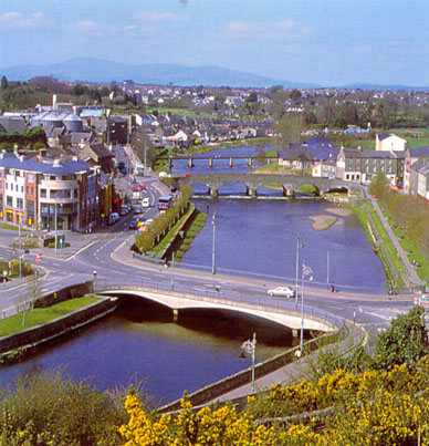
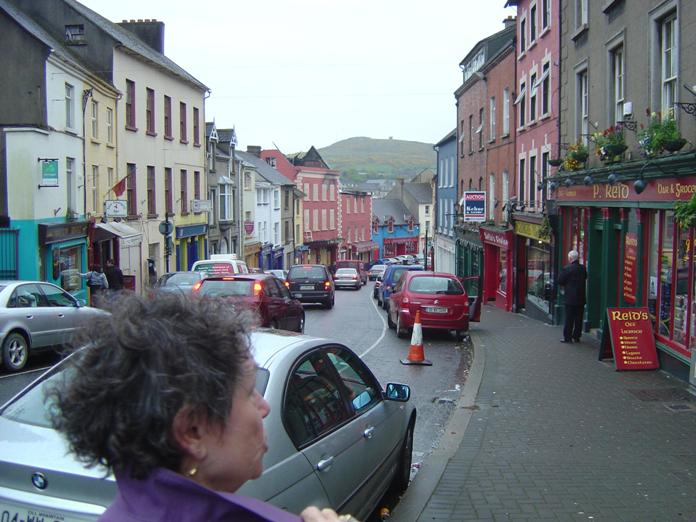
The town is situated on the River Slaney in the center of the county, 24 km (15 miles) north of the county town, Wexford. It is 74 km (46 miles) south of Dublin. The river has gouged steep sides in the surrounding rock over the millennia to create the distinctive hilly feel of the town.
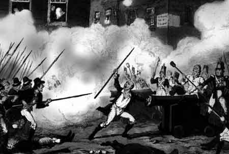
It is known as the Rebel Town because of the famous Battle of Vinegar Hill during the '1798 Rising' when about 10,000 British soldiers launched an attack on the Irish rebels encamped on nearby Vinegar Hill, the largest camp and headquarters of the Wexford Irish. Armed with only agricultural pikes, the rebels were making one last desperate attempt against the crown forces armed with rifles and cannon. 20,000 of the rebels were massacred in the four-week battle.
crafts industry most particularly in pottery, for which it is justifiably renowned.
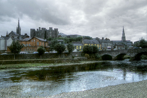
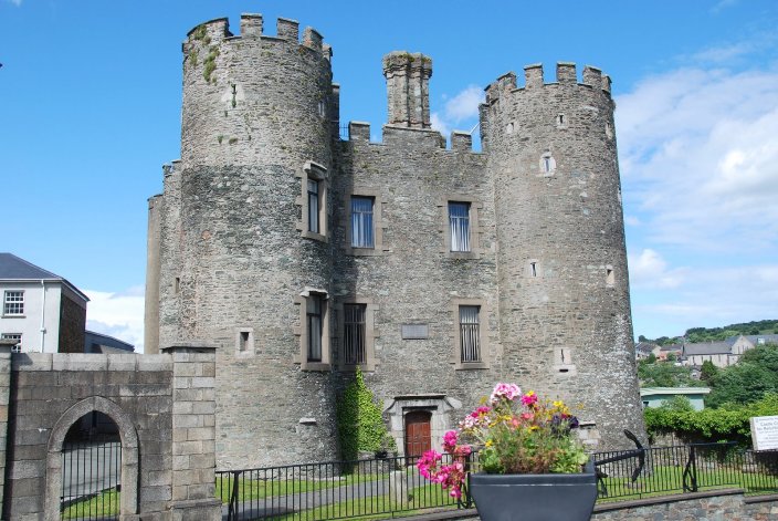
This impressive Norman castle dates from 1205 and was a private dwelling until 1951.
The castle was the site of many fierce battles during the Cromwellian years (1649-1658) and also the 1798 Rising.
